
UNDERSTANDING URBAN EXPANSION THROUGH MULTI-TEMPORAL SATELLITE DATA ANALYSIS
DOI:
https://doi.org/10.71146/kjmr637Keywords:
Urbanization Transformation, Machine Learning, Satellite Imagery, Punjab, PakistanAbstract
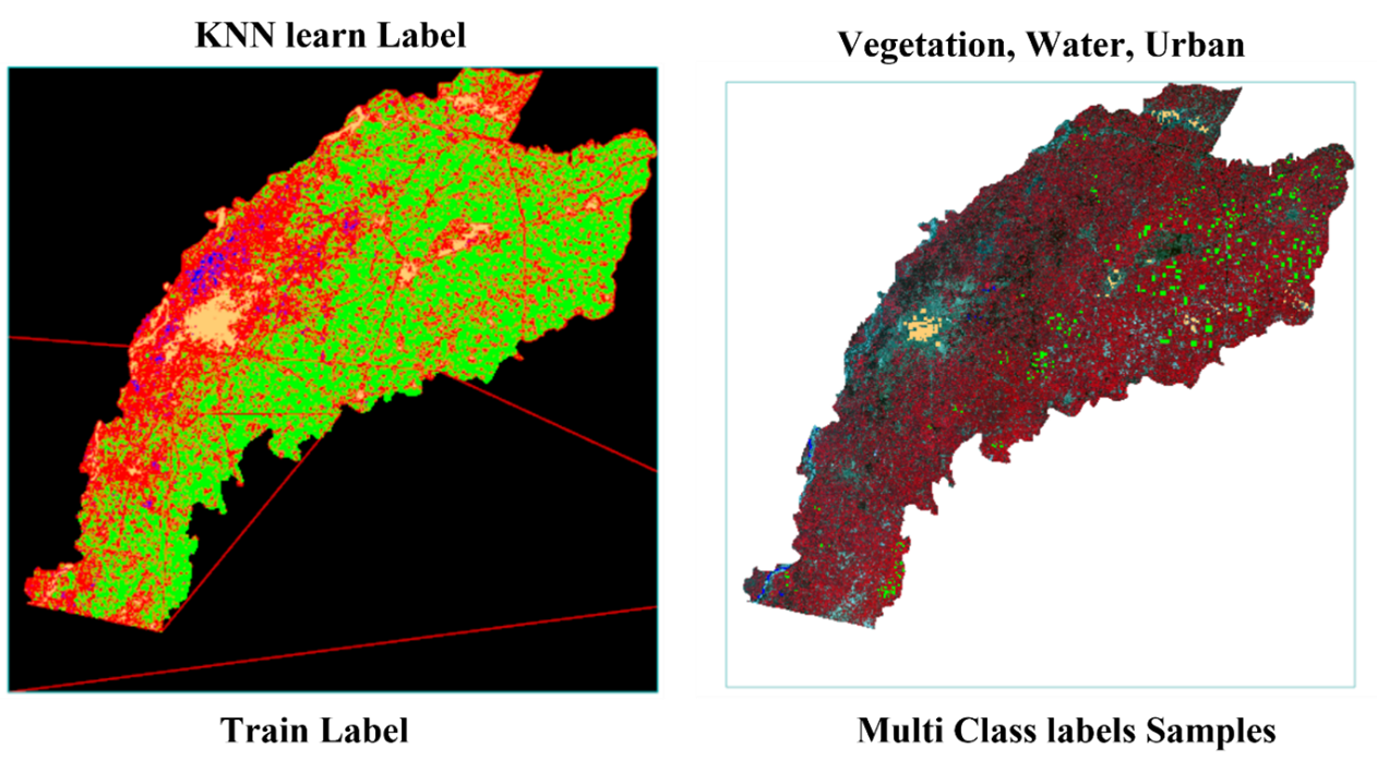
Satellite imagery represents a vital resource for comprehensively analyzing and monitoring the consequences of rapid urbanization. With the continuous expansion of urban areas, satellite data enables the detection of changes in land use, the spread of urban sprawl, and the development of infrastructure. In the Punjab district of Pakistan, accelerated urban growth has had adverse effects on agricultural land, leading to a decline in agricultural productivity and contributing to a national shortage of food supplies. The utilization of satellite images facilitates the assessment of urbanization's impact on key natural resources, including arable land, forests, wetlands, and river systems. Moreover, satellite-based analysis allows for the annual comparison of land transformation ratios, particularly the conversion of agricultural land into urban settlements. This process aids in identifying land ownership patterns and in understanding the spatial extent and progression of urban expansion. Integrating machine learning classifiers such as Random Forest, Support Vector Machine (SVM), and K-Nearest Neighbor (KNN) with satellite data further enhances the accuracy of applications like land cover classification, change detection, and object recognition. The insights derived from these technologies offer valuable support to policymakers and urban planners, enabling them to develop evidence-based strategies for managing urban growth. Ultimately, such information is instrumental in guiding sustainable urban planning efforts, protecting environmental resources, and prioritizing conservation initiatives in rapidly developing regions.
Downloads
Downloads
Published
Issue
Section
Categories
License
Copyright (c) 2025 Salahuddin, Naeem Aslam , Muhammad Tanveer Meeran, Meiraj Aslam, Muhammad Sajid Maqbool, Bareerah Saeed (Author)

This work is licensed under a Creative Commons Attribution 4.0 International License.
How to Cite


